
-
The Imago Mundi, or the Babylonian Mappa Mundi, is the oldest known representation of the world that has survived to this day. Now housed in the British Museum, it depicts the known world of the 6th century BCE, surrounding Babylon on the Euphrates, Assyria, and Armenia with their settlements, and the great "bitter river": the Ocean.
-
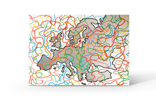
Maps, although increasingly accurate and faithful to the image of the globe thanks to technological advances in cartography, have historically represented a specific worldview, shaped by the perspective of the cartographer. Just as the Babylonians placed themselves at the center of a concentric world, so too did 16th-century Europeans spread the conformal cylindrical projection developed by the Flemish geographer Gerardus Mercator, which placed Europe at the center of the world. Mercator’s map is still extremely familiar to us today: it is the world map found in all our schoolbooks.
-
 Michelangelo PistolettoEmbrace Differences, 2005Thermodet Mirror / Specchio Thermodet / Thermodet-Spiegel27 1/2 x 38 5/8 in
70 x 98 cm -
Piero Pizzi CannellaMappa del mondo "per andare via", 2002-2009Series: Opera singolaOil on canvas / Olio su tela / Öl auf Leinwandheight 70 7/8 in
height 180 cm -
Luigi CarboniIn assenza di prove, 2004-2005Acrylic on canvas / Acrilico su tela / Acryl auf Leinwand78 3/4 x 98 3/8 x 2 in
200 x 250 x 5 cm -
Luigi Carboni
Altri mondi, 2002Acrylic on canvas / Acrilico su tela / Acryl auf Leinwand
98 3/8 x 98 3/8 x 4 in
250 x 250 x 10 cm -
Diamante FaraldoDentro l'occhio dell'Occidente, 2010Black marble from Belgium, inner tube, wood and aluminium /Marmo nero del Belgio, camera d'aria, legno e alluminio / Schwarzer Marmor aus Belgien, Fahrradschlauch, Holz und Aluminium85 x 159 1/2 x 2 in
216 x 405 x 5 cm


Join our mailing list
* denotes required fields
In order to respond to your enquiry, we will process the personal data you have supplied in accordance with our privacy policy.